
Satellite tracking and pass prediction
Find satellites by name, group or NORAD ID and calculate pass times, azimuths and maximum elevation.
CAPABILITY
From satellite data to an executable pass task
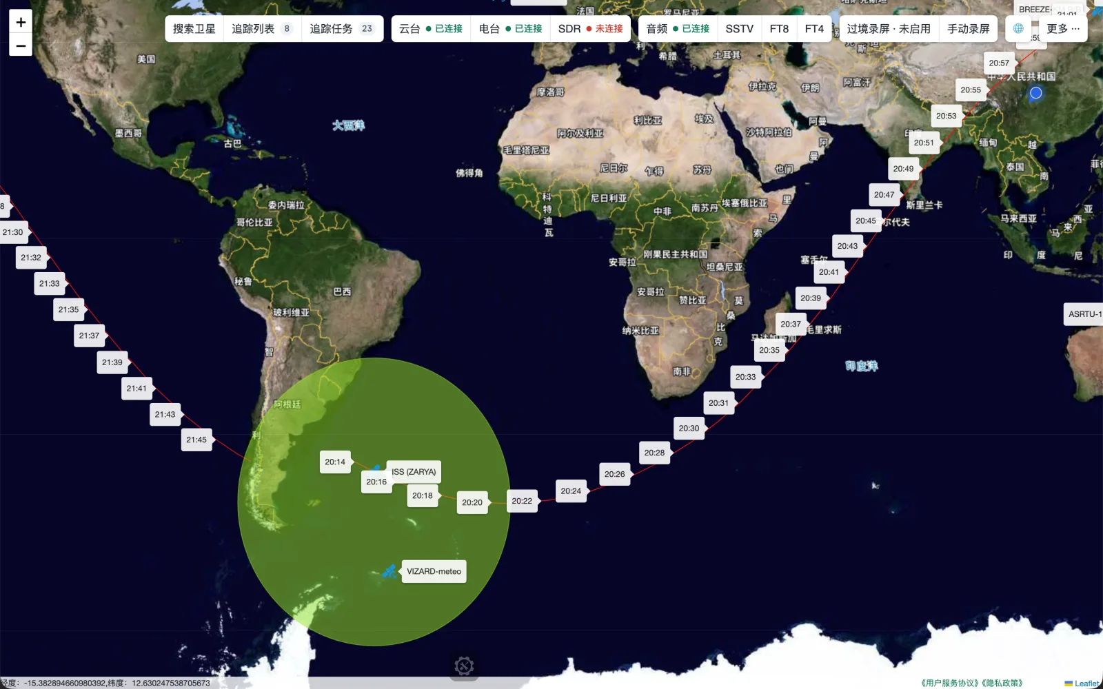
Find a target by group, name, alias or NORAD ID. Review orbital data, modes and amateur-radio frequencies, then calculate start/end time, duration, azimuths and maximum elevation.
Pass list and minimum elevationOrbit map and current skyMobile compass pointing
Accuracy and safety
Pass results depend on orbital data, location accuracy and time. Follow local radio rules and keep an independent way to stop or power down moving equipment.